
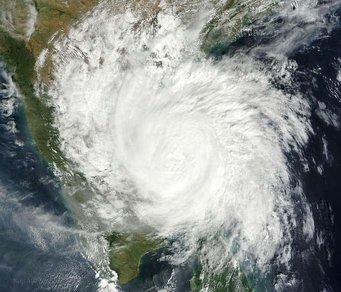
Tropical Cyclone Alfred, currently a Category 2 system, is intensifying off Australia’s northeast coast. As of today, it is located approximately 930 kilometers northeast of Mackay in the Coral Sea. Meteorologists anticipate that Alfred will strengthen to a Category 3 cyclone by Thursday.
The cyclone is moving slowly southward, and its future trajectory remains uncertain. Some forecast models suggest that Alfred may approach the Queensland coast between Townsville and Brisbane over the weekend, potentially making landfall early next week. Other models indicate it could remain offshore or veer away from the coast.
Residents in central and southeast Queensland are advised to stay informed through official channels, as the cyclone’s path could bring strong winds, heavy rainfall, and significant coastal swells. These conditions may lead to flooding and coastal erosion in affected areas.
In addition to Alfred, two other tropical cyclones—Rae and Seru—are active in the South Pacific. While simultaneous cyclones are uncommon, they are not unprecedented during the peak cyclone season from November to April. The presence of multiple systems may be influenced by atmospheric patterns such as the Madden-Julian Oscillation.
Authorities emphasize the importance of preparedness and caution, urging communities to monitor updates from the Bureau of Meteorology and adhere to any advisories issued. Given the unpredictability of Alfred’s path, staying informed is crucial for ensuring safety and minimizing potential impacts.
